
Scenic Loop - Boerne Stage Corridor
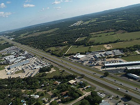
Located at the base of the Hill Country, Scenic Loop Road is a winding byway that was created as a scenic touring route for San Antonians in the 1920s. The Scenic Loop was originally 46.3 miles roundtrip from downtown San Antonio and was built to connect with the Boerne Stage Road. At that point, the Road turns north and continues as Boerne Stage Rd to the Balcones Creek at the Kendall County Line
The history of the area spans several thousands of years. A drive along the route reveals evidence of prehistoric sites, nineteenth-century rock structures, historic ranches and farms, abundant wildlife habitat and the Old Spanish Trail.
After nearly a century of sprawl, the remaining scenic and historic route is about a fifth of its original distance, totally about 10 miles. The residents fought the widening of the loop in 1985, and they continue to oppose adjacent development. However, as the site is outside of San Antonio’s jurisdiction, developers have few regulations and are free to clear-cut properties or dynamite hills. After nearly a century of sprawl, the remaining scenic and historic route is still very much in danger.
LOCATION: From the south at Highway 16 in Helotes, to Boerne Stage Road; continues north as Boerne Stage Road to Balcones Creek at the Kendall County Line
RESOURCE TYPE: Cultural Landscape
YEAR LISTED: 2009